


Smart Geology
Provide information services based on geological resource related data to achieve deep mining, sharing, and exchange of geological resource information.
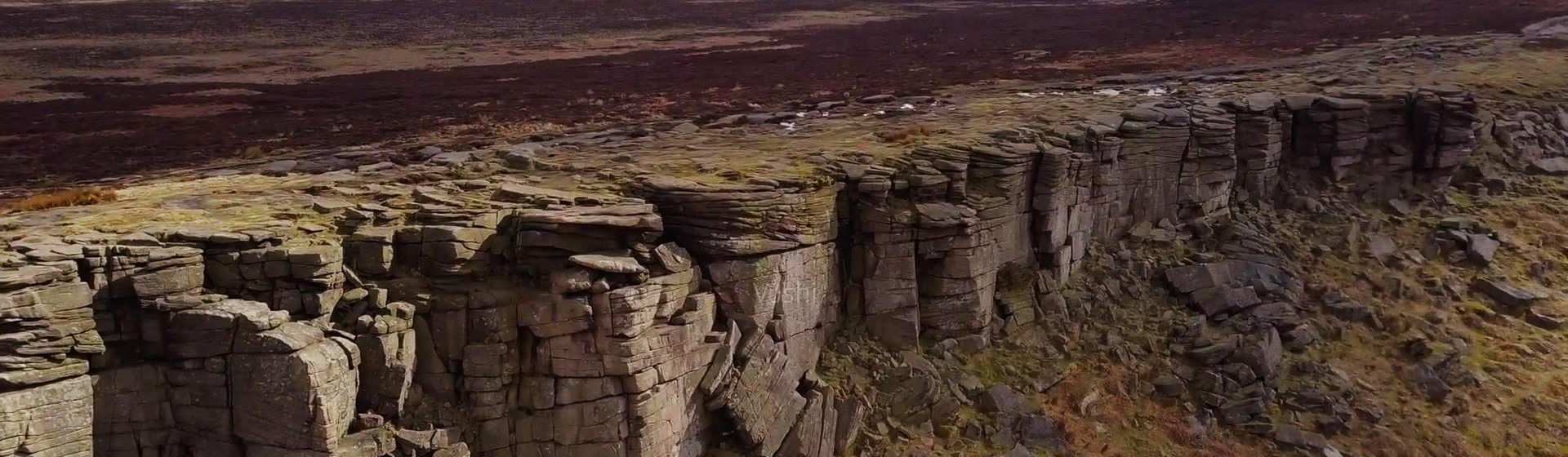
The MapGIS Mine Management and Modeling System is a product developed by China National Land and Resources Corporation based on the "General Principles for Solid Mineral Exploration" (GB/T13908-2020) and the "Technical Requirements for 3D Geological Modeling of Solid Mineral Exploration" (DZT0383-2021). It integrates mine data management and modeling analysis for solid mineral resources using the MapGIS platform. With the powerful data management and modeling functions provided by the system, it can achieve 3D reconstruction, visualization expression, and 3D expression of attribute features of various geological bodies and geological structures. It can deeply analyze the spatial structure of geological bodies, provide 3D model data for mineral resource exploration, resource estimation, mineralization law research, mineralization prediction, mining and mine management work, and serve mineral resource exploration and development and mine management work.

Related Software
Smart City
- Smart City Spatiotemporal Big Data Platform
- MapGIS Smart Thermal Solution
- Smart Emergency Command Platform
- MapGIS Field Work Order Solution
- Enterprise One Picture Solution
- Smart Security Combat Platform
- MapGIS Pipeline GIS Solution
- Smart Chemical Industrial Park Solution
- Smart Patrol and Prevention Platform
- MapGIS Integrated Management System Solution for Underground Municipal Facilitie
Natural Resources
- National Land Space Basic Information Platform: Smart Hub
- National Spatial Planning Implementation Monitoring Network (CSPON)
- Real estate convenience service system
- Realistic 3D Solution
- Natural Resource Asset Management Solution
- One code land management solution
- Ocean monitoring solutions
- Intelligent Disaster Management Solution
- Integrated solution for natural resources e-government
- Land survey solution
Smart Geology
- MapGIS Digital Twin Watershed Solution
- MapGIS Groundwater Informatization Solution
- MapGIS Iterative Geological Modeling Tool
- Geological Informationization Solution
- MapGIS Geological Data Management and Display System
- MapGIS Field Data Collection System
- MapGIS Smart Environmental Protection Solution
- Integrated solution for urban geology above ground and underground
- Geological big data cloud platform
- MapGIS Mining Management and Modeling System
More Applications
- Series solutions for the communication industry
- MapGIS CIM Underground Space Platform
- Smart wind power solution
- Solution for Radio and Television Resource Management
- Transportation Meteorological Support Service Solution
- High performance processing solution for remote sensing images
- Multi source remote sensing data management solution
- Solution for Multi source Meteorological Information Integration Application and Service Platform
- Solution for Visualization Platform of Meteorological 3D Storm Body Echo Data
- Solution for Weather Radar Construction Business Platform


