Seminar on the Integration of GIS, Intelligent Computing, and Large Scale Modeling Technology Hosted by the Joint Laboratory of China and the Earth
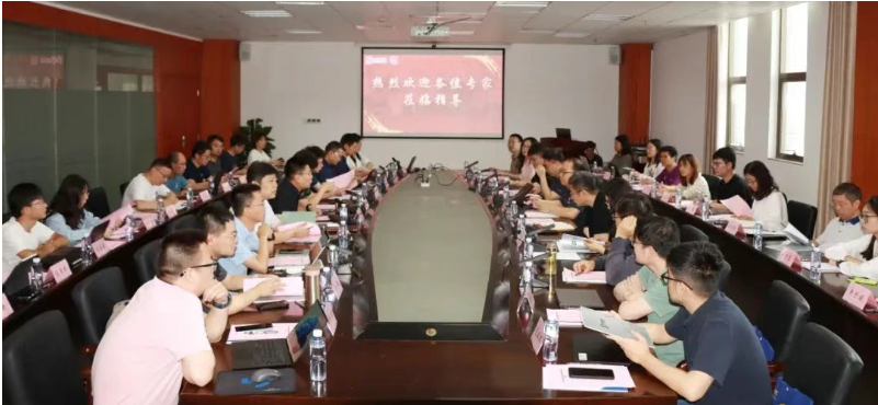
In June 2025, the National Local Joint Engineering Laboratory of Geographic Information Systems, in collaboration with Zhijiang Laboratory, Tsinghua University, and the Natural Resources Comprehensive Survey Command Center of the China Geological Survey, successfully held a seminar on the integration and fusion of GIS, intelligent computing, and large-scale modeling technologies at the Wuhan Zhongdi Science and Technology Park.
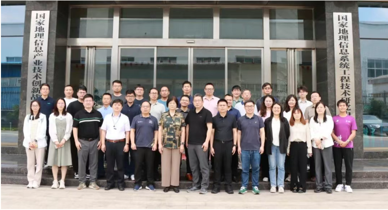
This conference focused on the cross integration of MapGIS platform, intelligent computing, and GeoGPT large-scale modeling technology in the field of geology. Seven experts gave keynote speeches and set up a technical seminar workshop. More than 60 experts and scholars from various fields of industry, academia, and research jointly discussed the application and new development of spatiotemporal intelligent technology.
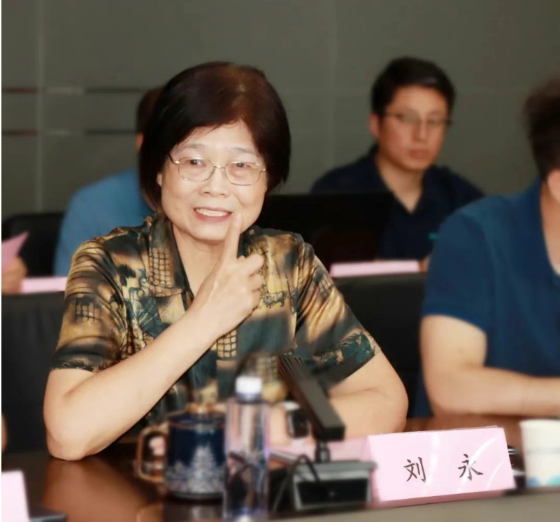
Professor Liu Yong, co-founder of MapGIS and chairman of Wuhan Zhongdi Digital Technology Co., Ltd., pointed out in his opening speech that "the geographic information industry is going through a critical period of intelligent transformation, and promoting the deep integration of GIS and AI big models is a necessary path to break through the bottleneck of traditional GIS software development
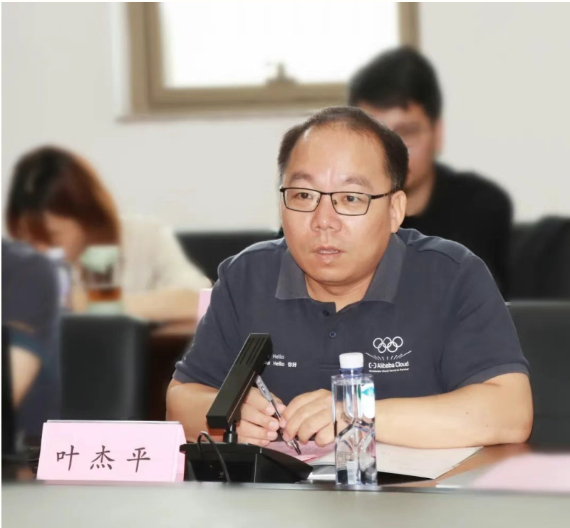
IEEE Fellow、 Vice Director Ye Jieping of Zhijiang Laboratory emphasized, "To build an interdisciplinary technology ecosystem for the geological model, it is necessary to connect the complete chain from data hubs, computing platforms to industry applications
Experts from the Natural Resources Comprehensive Survey Command Center of the China Geological Survey and Tsinghua University shared the progress and achievements of geological survey intelligence and earth science research.
The attending experts had in-depth exchanges and discussions on the integration and fusion of GIS, intelligent computing, and large-scale models at the platform and application levels.
At the level of platform integration, the focus will be on promoting the interconnection between scientific data hubs and MapGIS platforms in the later stage, building a deep integration system between MapGIS platform and GeoGPT large model, and establishing a GIS intelligent computing paradigm for large model applications.
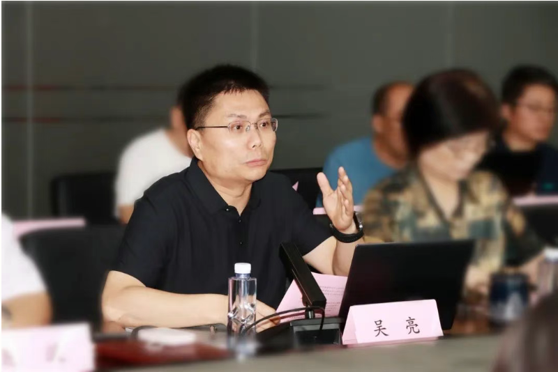
At the application level, joint efforts will be made to fine tune and optimize the technical processes of geological field models, establish a federated learning mechanism between geological big models and geological big data, realize multi-agent based geological application scenarios, and prioritize the implementation of intelligent geological mapping, deep mineralization prediction, and other intelligent applications.
At the meeting, experts and scholars combined their respective professional fields and practical experience to deeply explore specific paths for cooperative development in areas such as scientific research, technology, industry, and talent cultivation.
Experts and scholars attending the meeting suggested that the National Local Joint Engineering Laboratory of Geographic Information Systems, Zhijiang Laboratory, Tsinghua University, and the Natural Resources Comprehensive Survey Command Center of the China Geological Survey should further deepen cooperation, anchor national strategies, focus on scientific and technological innovation, carry out joint research and development, and strive to achieve key technological breakthroughs in the field of geological intelligence; Through the integration of academic guidance and practical experience, we aim to gather the wisdom of research institutions, universities, and industries, and explore new models for cross disciplinary and coordinated development in multiple fields.


